Our new home.

Our new home.


Charters Towers isn’t very handy for me on the Gold Coast so I made this map without leaving my desk.

Created for the orienteering programme of the local schools. This is my very first golf course map! I did this sitting at home…

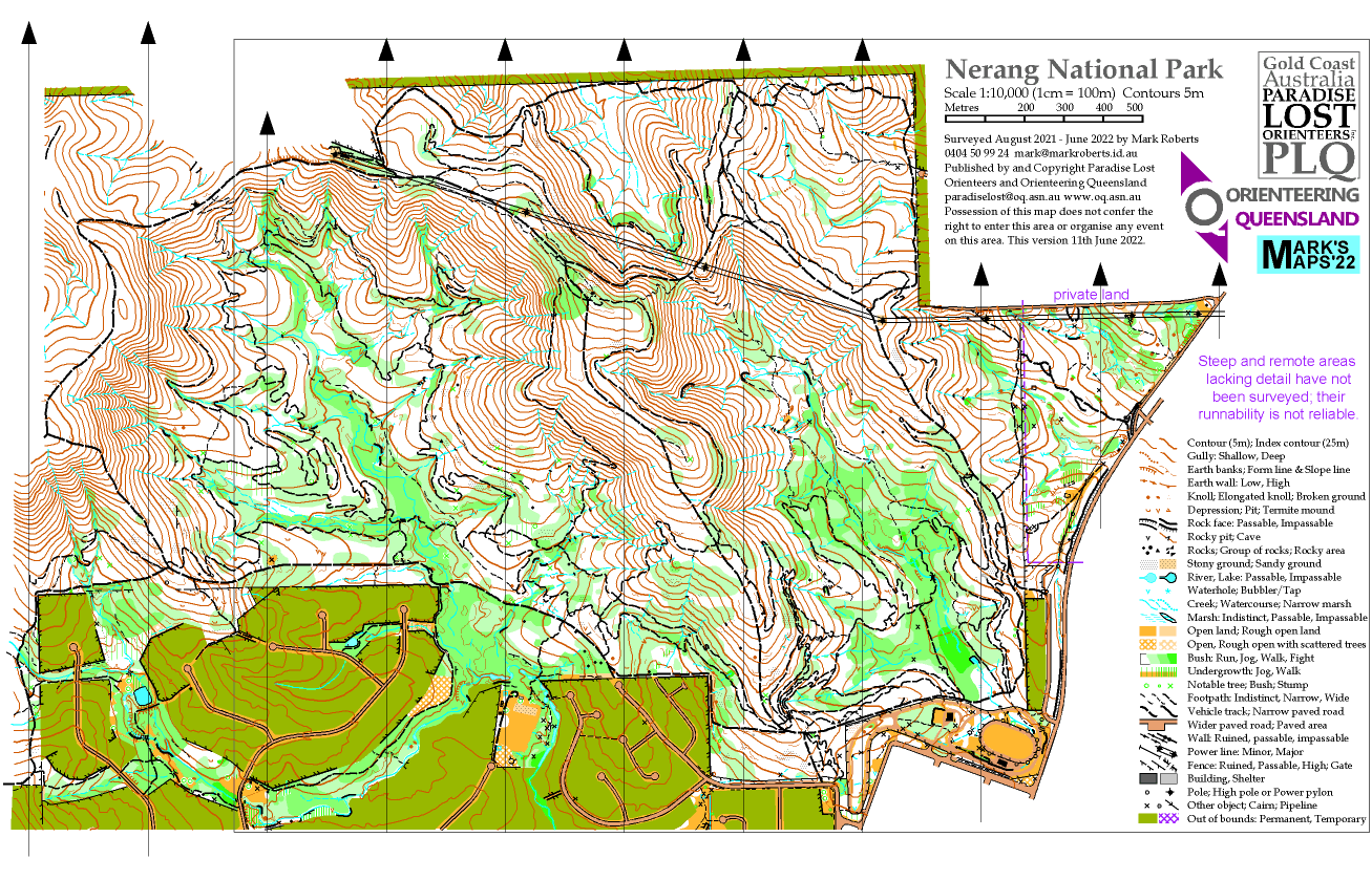


At long last a new bush map on the Gold Coast. I live just to the south.

Dunes entirely redrawn for the NOL event at Easter 2022
