More remote and difficult to reach bushwalks didn’t fit into our Family Bushwalks book, and here are the orphan maps I prepared for Amamoor State Forest: 


More remote and difficult to reach bushwalks didn’t fit into our Family Bushwalks book, and here are the orphan maps I prepared for Amamoor State Forest:
A small area of bushland opposite the Kokoda Barracks main entrance. I made this map for the Family Bushwalks book but it didn’t make the cut.

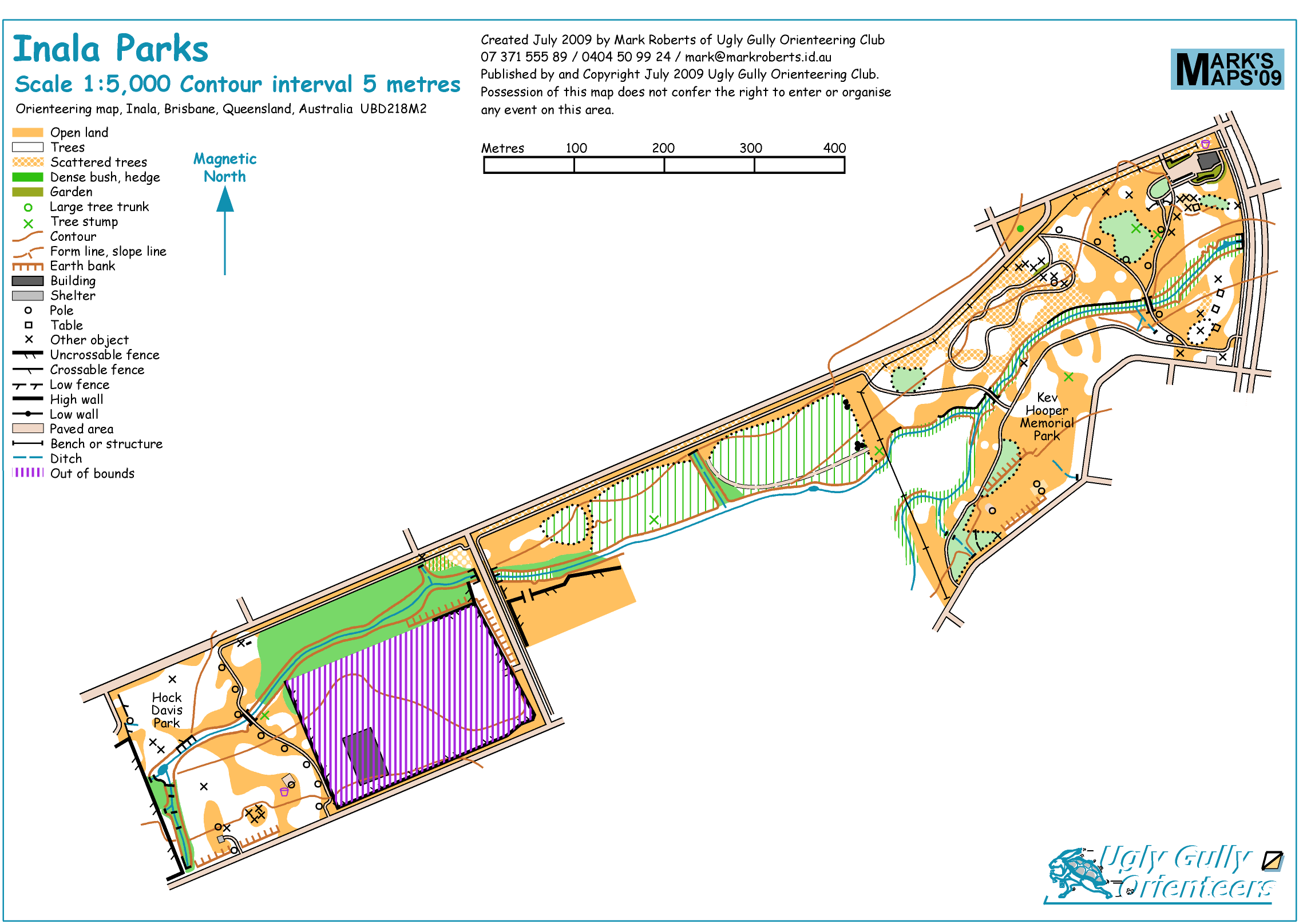
A small orienteering map of a lovely place which I made for an activity with a local school. 
A small orienteering map I made for use by the local school. Please forgive the Comic Sans.
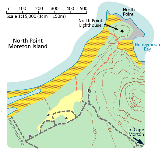
For our Family Bushwalks book we drew the line at walks which are difficult to get to, so Moreton Island didn’t make the cut; here are the draft maps, which we have not groundtruthed. 

Another map which didn’t quite make it into our Family Bushwalks book. My son rides this track to school on his MTB.
A map created for our Family Bushwalks book that we decided not to use as the area was in poor condition and we already have nearby Parkinson Bushland, Greenwood Lakes and Dan Stiller Reserve in the book. This is a Brisbane City Council reserve so cycling is not permitted.

An orienteering map of Fred Rogers Recreation Camp on Storm King Dam near Stanthorpe, quickly sketched for an Orienteering Queensland junior training camp.
The map lacks the usual detail found on an orienteering map, because I only had Google Maps imagery and guesswork to work with, and have never fieldworked it on the ground.

Here’s a map I drew for Numinbah Valley Environmental Education Centre for use in the classroom.
My orienteering map of Camp Duckadang near Linville, drawn so that I could offer an orienteering activity during my son’s school camp.
